Drone Photography & Video throughout San Luis Obispo &
Santa Barbara Counties
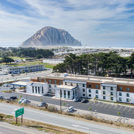
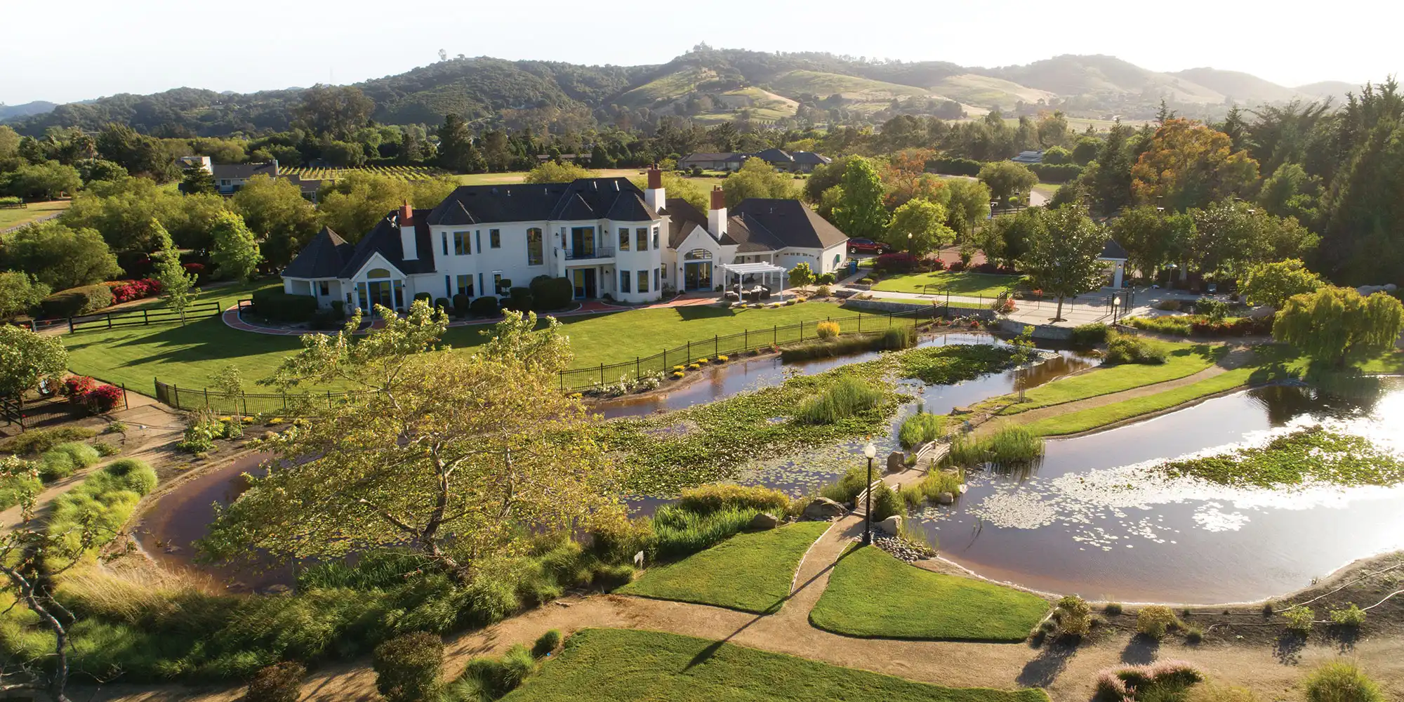
Drone Photography
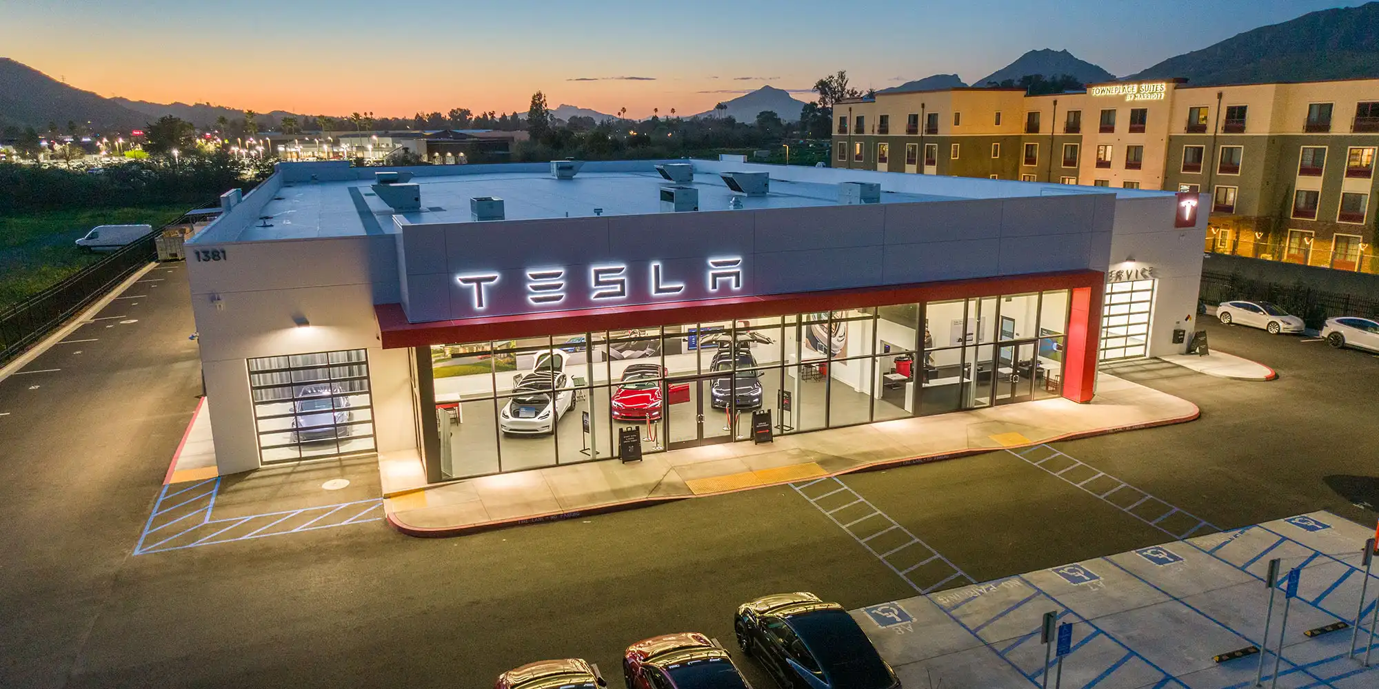
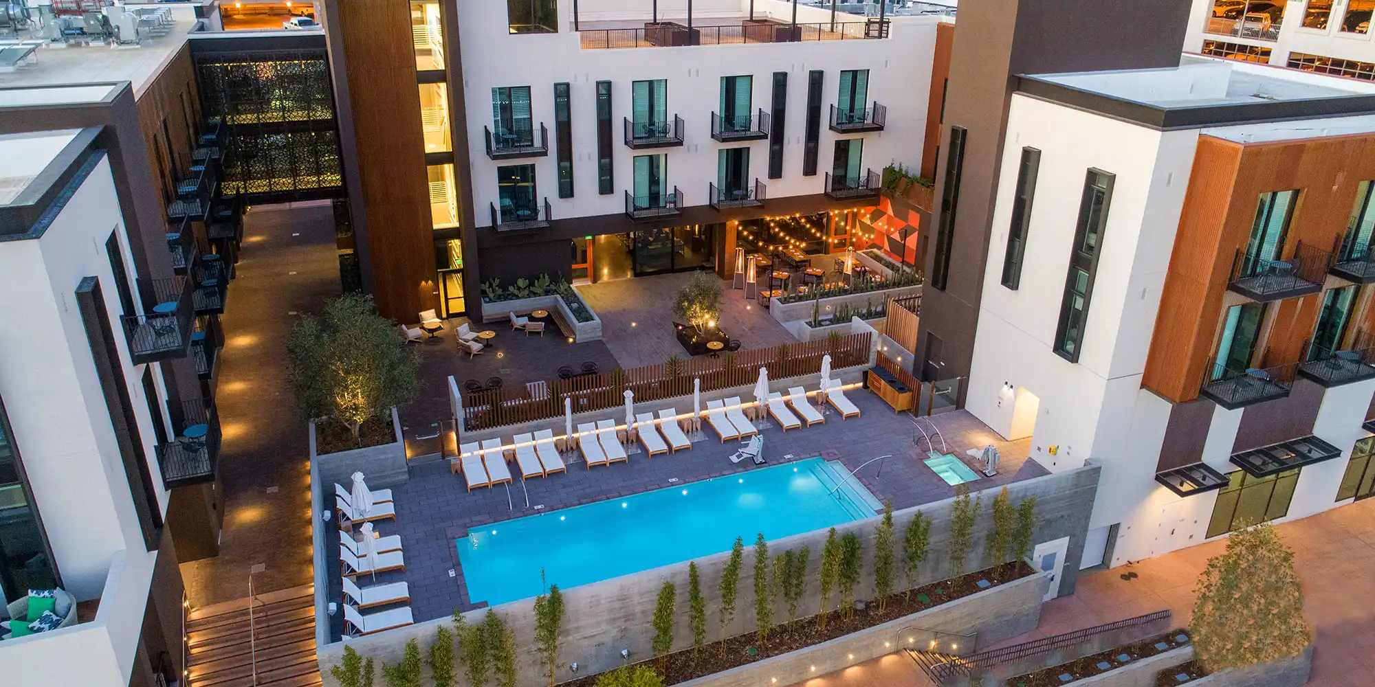
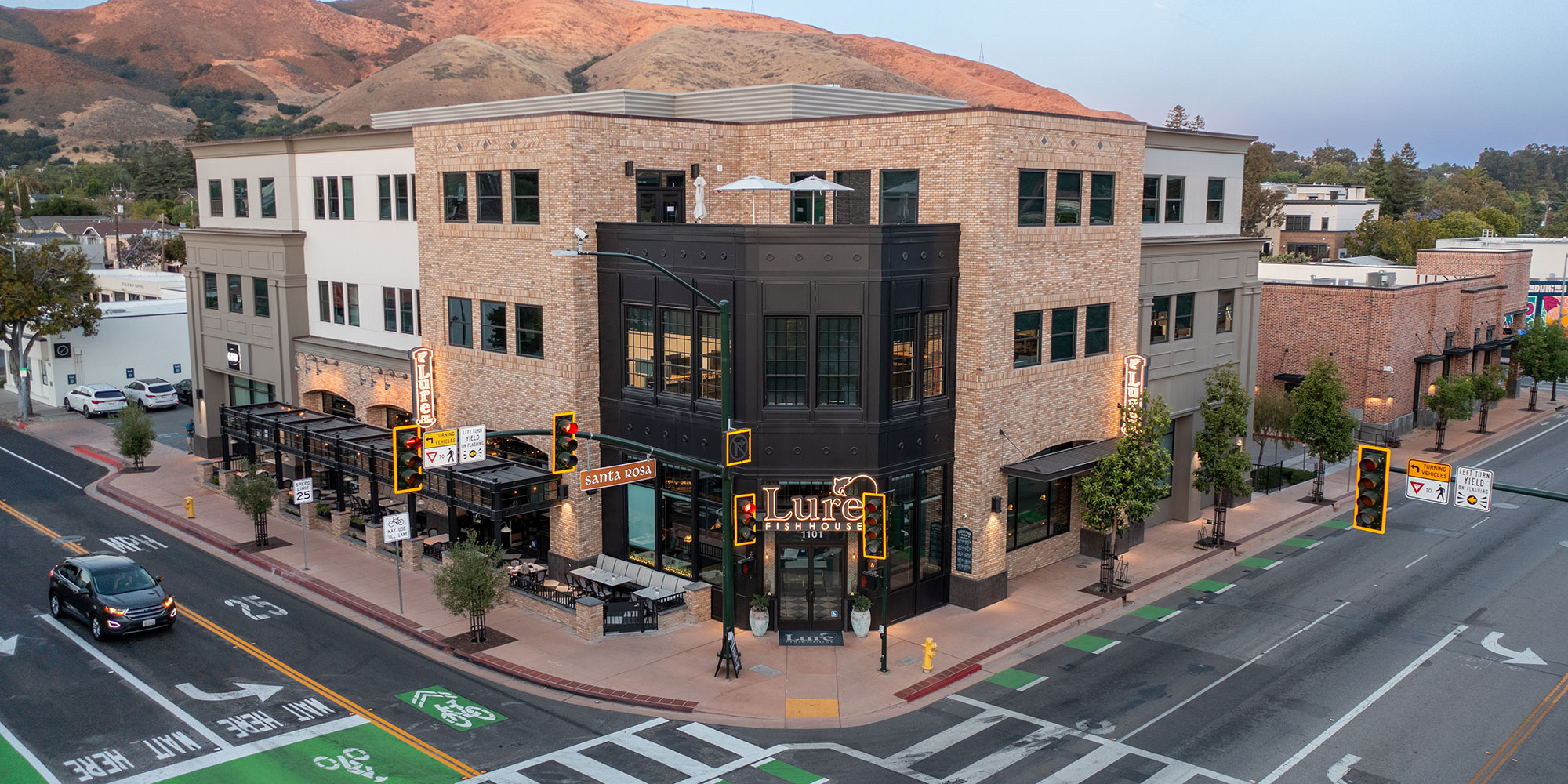
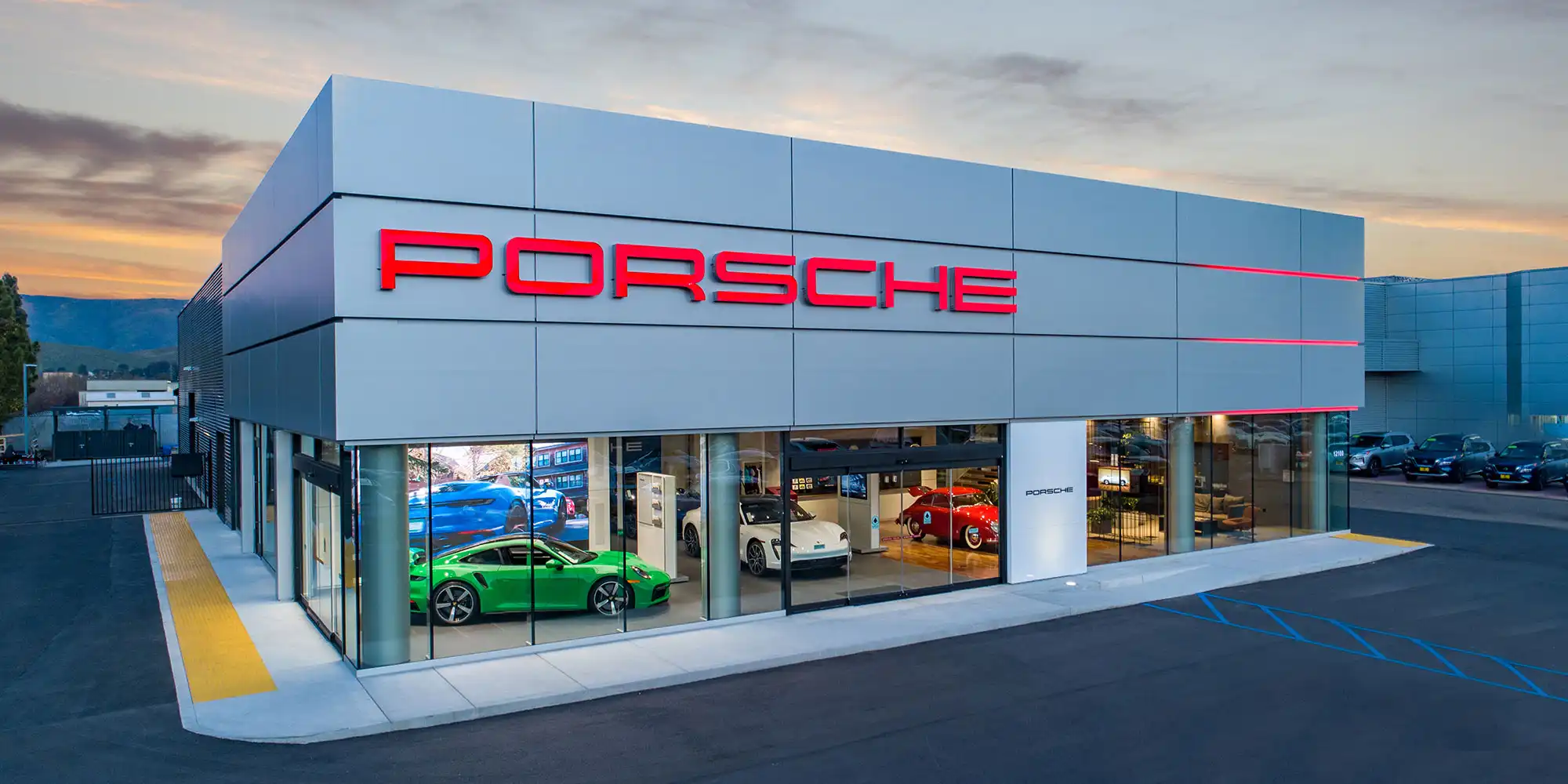
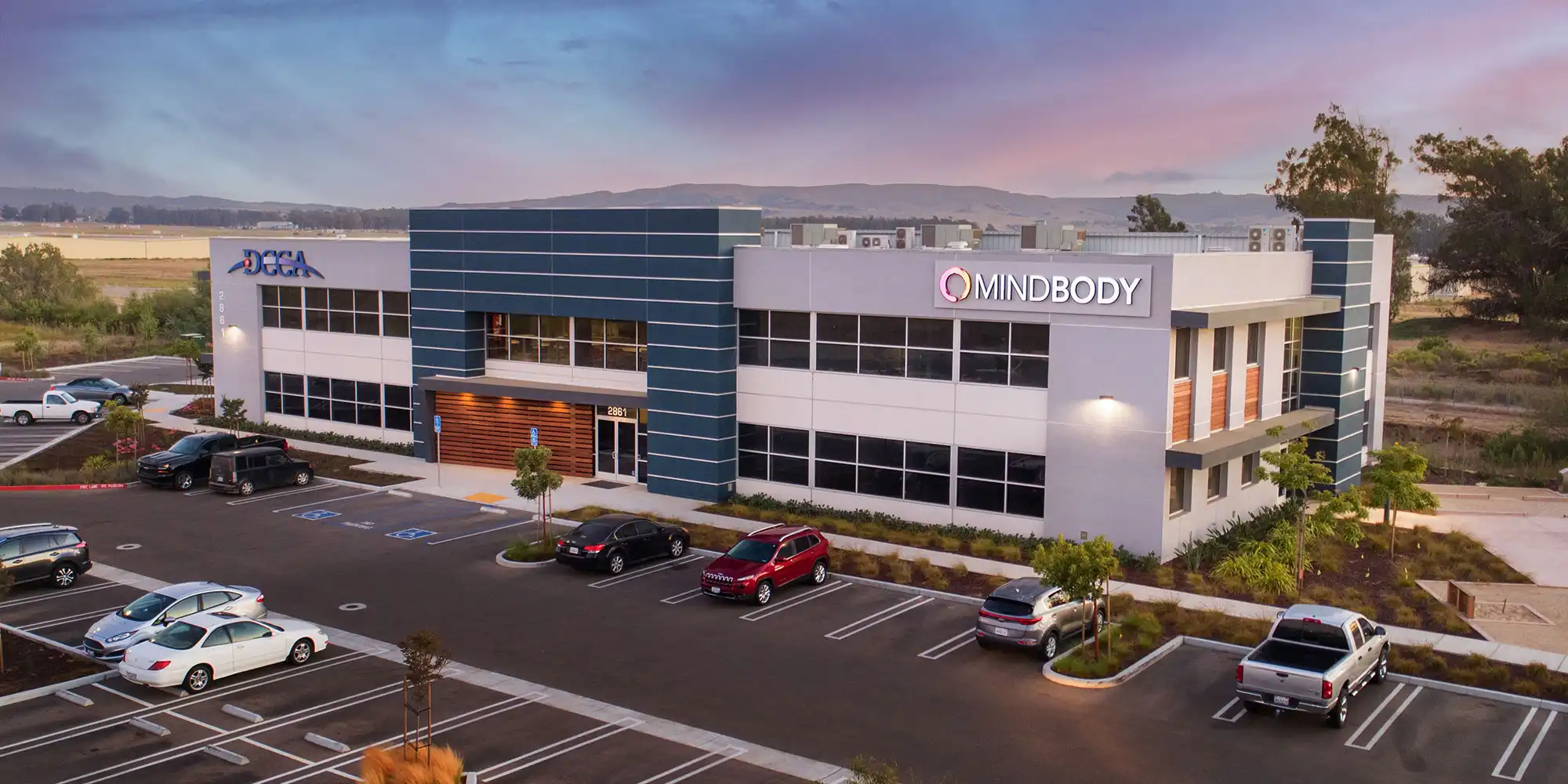
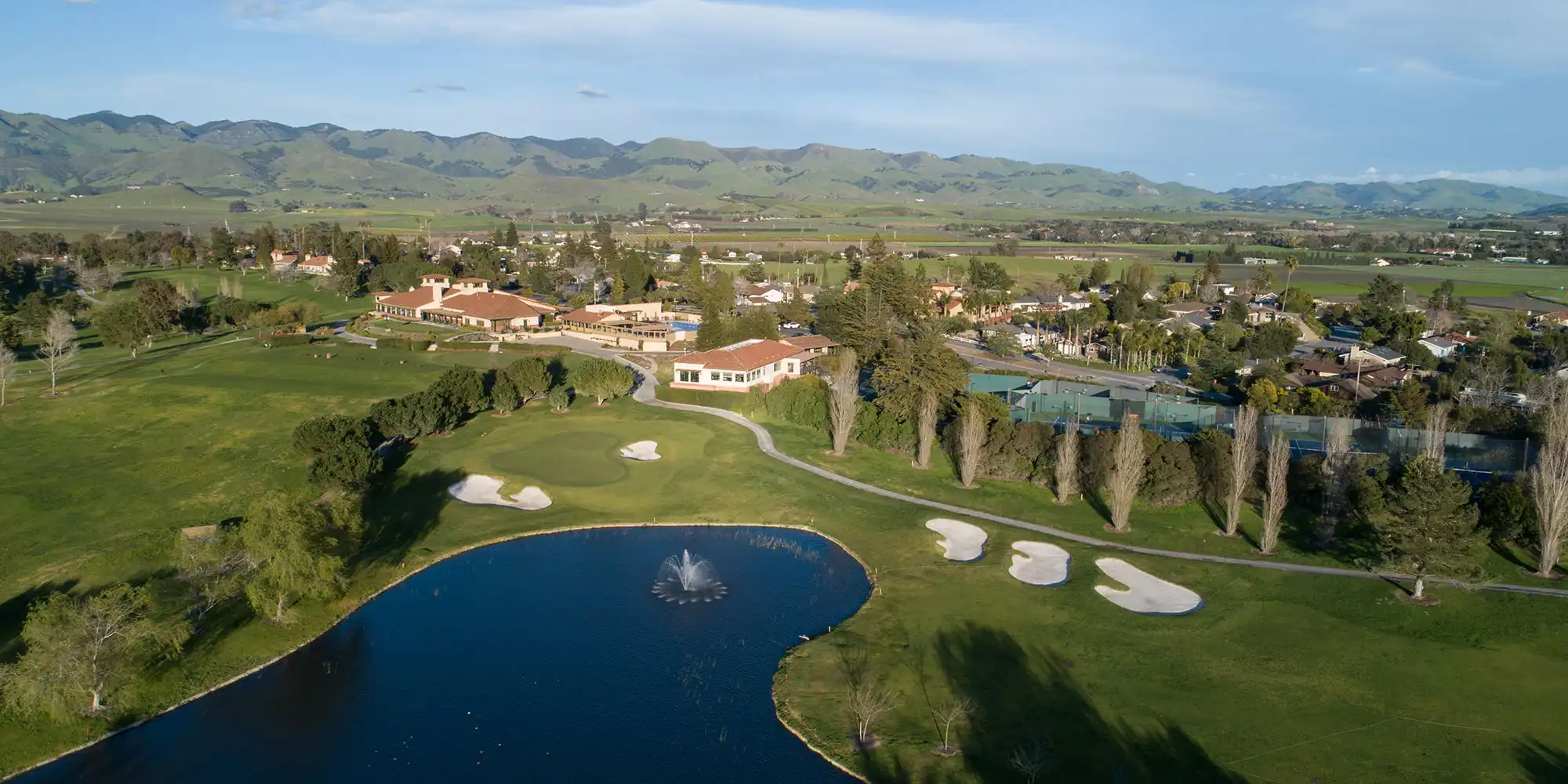
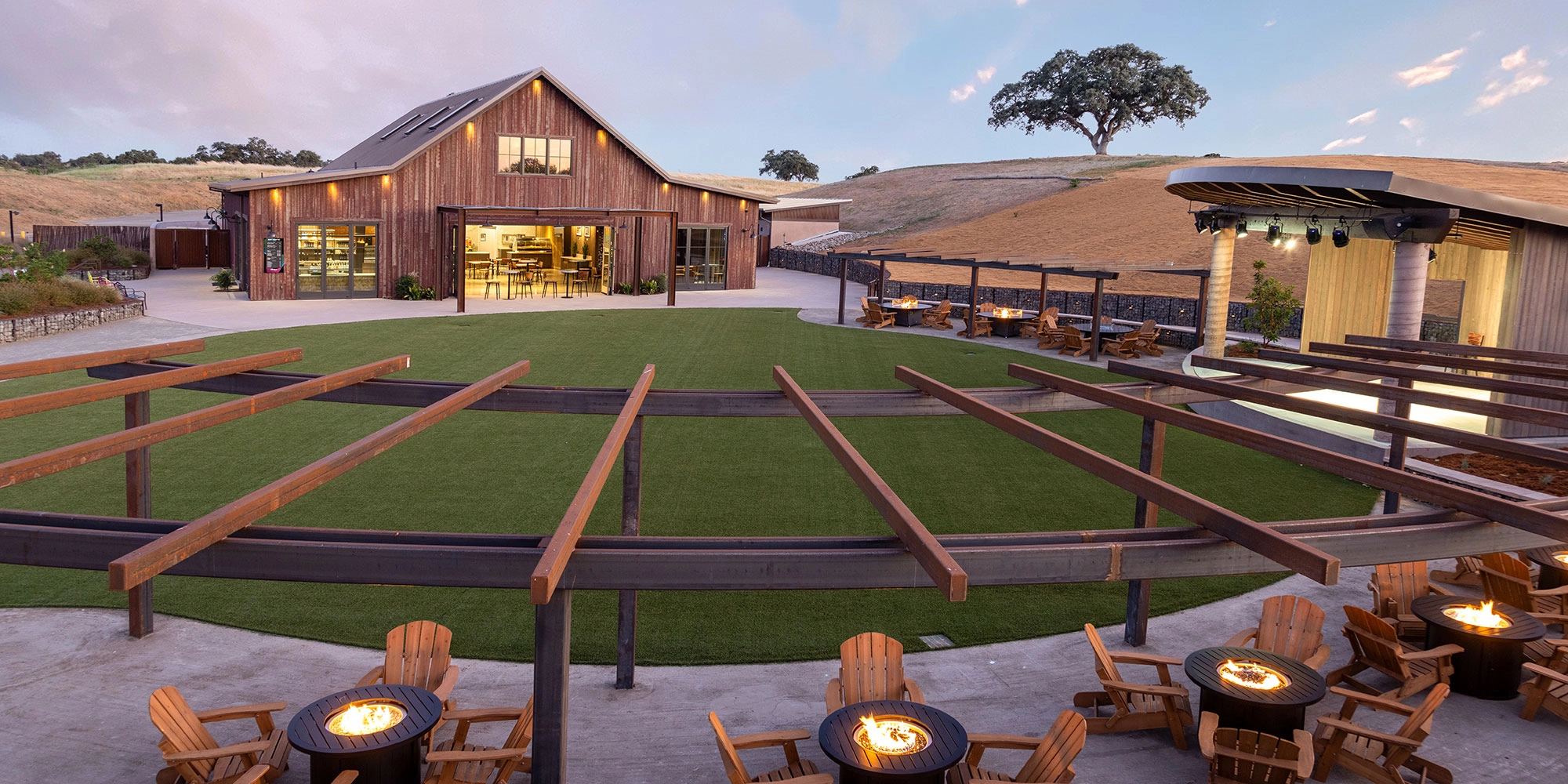
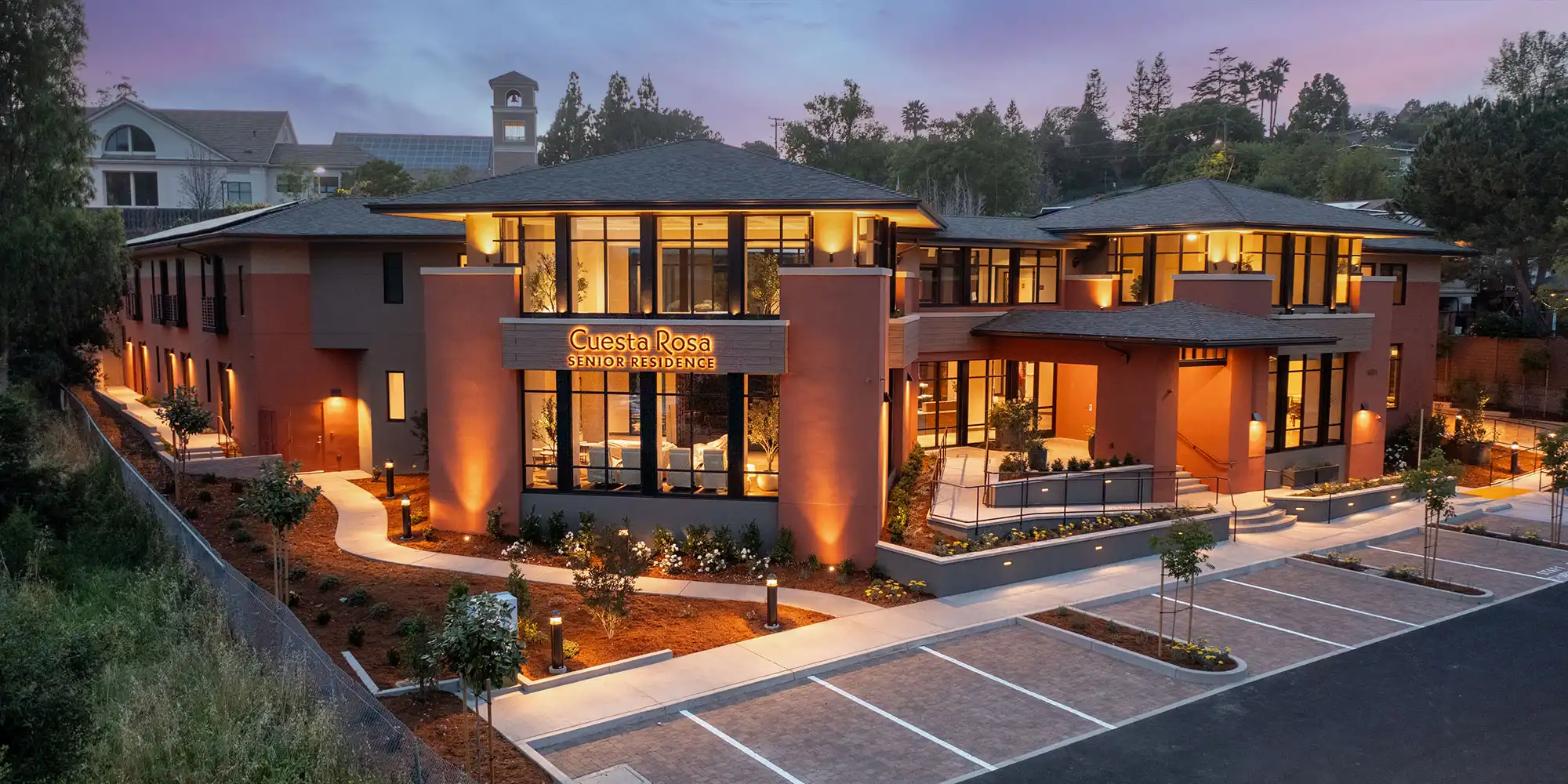
Magazine-quality images of your real estate. Showing off details and location.
Drone
Video
High quality (4k HD) drone video production of real estate, products or lifestyle activities.
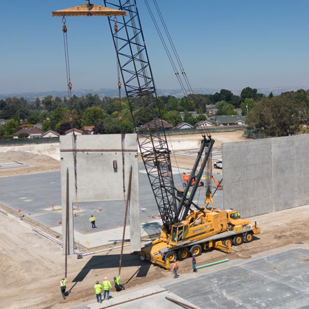
Construction Progress
Monitor construction progress while allowing partners and investors to see the development.
Drone Hyperlapse and Timelapse Video
Highlight the progress of your building being built with dynamic, revolving timelapse videos.
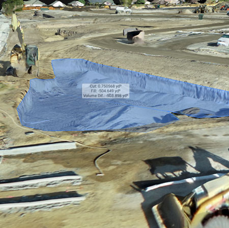
2D & 3D Drone Mapping
High resolution, interactive 3D mapping model of your construction site.
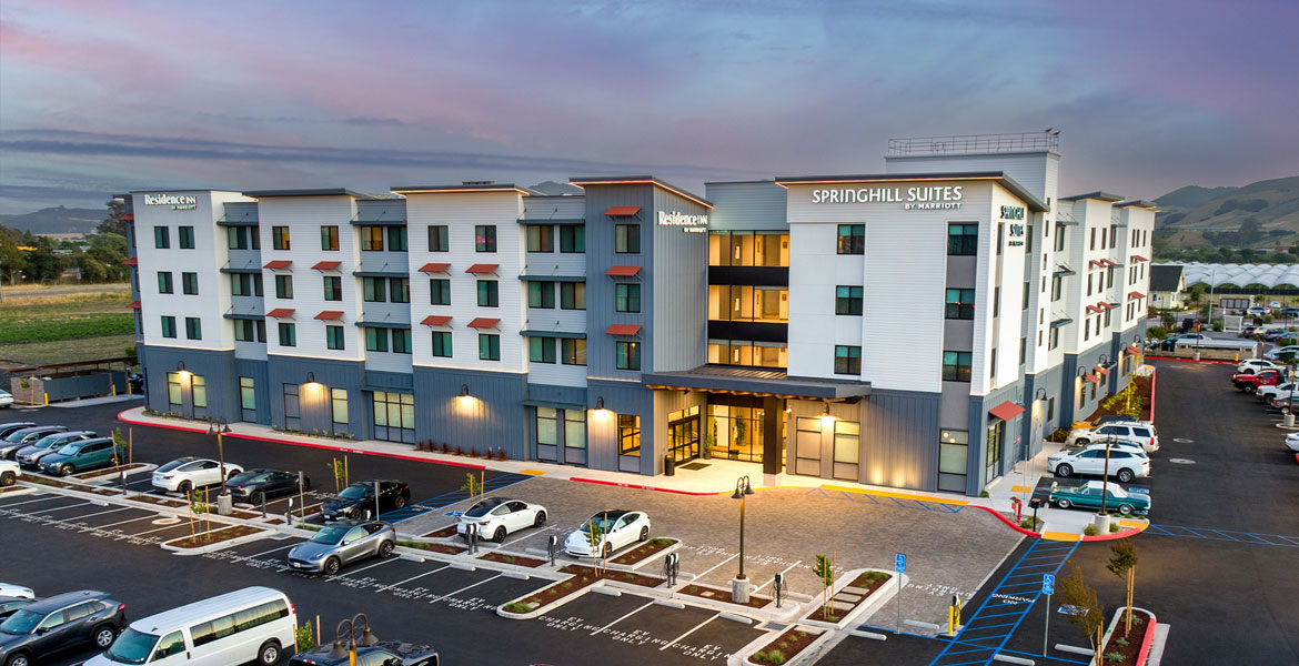
Aerial Drone Still Photography
Since 2017, we have been FAA licensed to fly drones for commercial use. Much of our time is spent creating magazine-quality aerial photography for our clients using today’s stunning drone technology. These dramatic images are frequently used for brochures, billboards, advertising, and websites. Dennis, our seasoned pilot, can not only capture brilliant images of your project with professional grade aerial cameras but do it in a safe and professional manner that limits the appearance of any improprieties or objections from nearby homes or business owners.
Drone Video
When shooting aerial video, we capture stabilized, 4K quality footage, at 60 frames per second with smooth cinematic moves. We provide edited videos with music and titles to create attention grabbing videos that our clients love. Whether it be of commercial real estate, construction progress, or to show the central coast scenery and lifestyle, our goal is to make you look your best and keep the viewer’s attention. Our drone videos are frequently used to show off a new hotel or other commercial building, sell real estate, show a contractor’s capabilities, record construction progress, update architects’ portfolios, enter design contests, and highlight the beautiful vineyards and coastline of San Luis Obispo County.
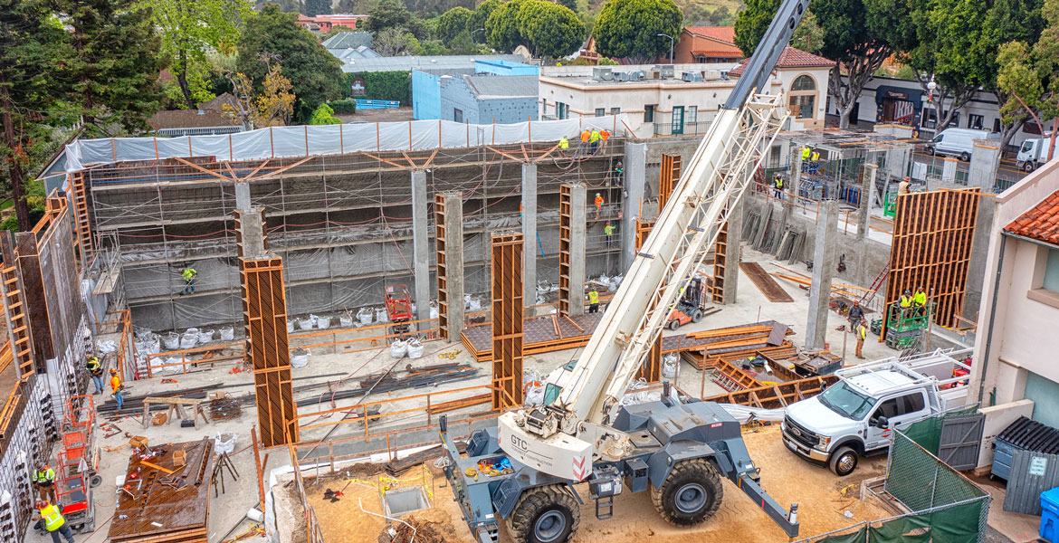
Construction Progress Monitoring with Drone Photography & Video
Drone Photography and Video on scheduled intervals helps track construction progress. The monthly progress image and video galleries collect valuable data for yourself, partners, and investors. While shooting monthly or bi-monthly hyperlapse videos we also photograph details of larger events like concrete pours, concrete tilt-ups, framing. Both video and stills can be used for high end marketing, even before the project is complete. Safety is always first, besides checking for airspace restrictions, if we ever personally need to enter a construction site, we make sure to wear all the personal safety gear required.
Drone Hyperlapse
Drone Construction Hyperlapse Videos are the perfect solution to capture construction progress. Drone Hyperlapse is a series of programed drone orbits while shooting video of a construction site every 2-4 weeks. We then edit the footage together to create a moving timelapse of the construction. This not only collects valuable data for you, your clients, and investors, the results are a compelling solution for builders to show off their capabilities in social media and on their own websites.
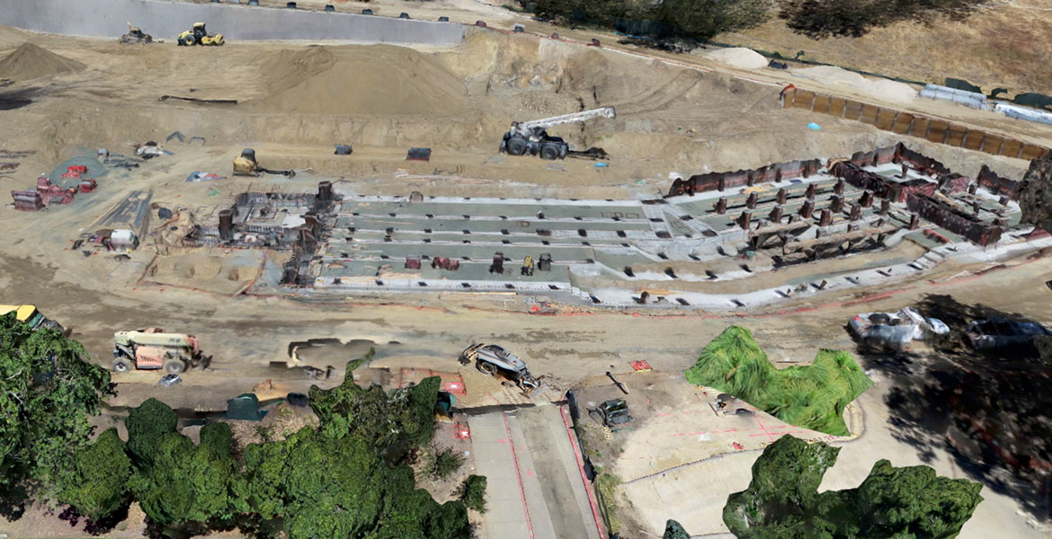
Drone Mapping & Aerial Photomosaics
The ability to create 2D and 3D aerial maps of construction sites, large estates, ranches, quarries, and land conservancies is the most recent tool added to our capabilities. The process creates a high-resolution interactive 3D model of the site with the ability to measure volumes and distances, check progress, and record the materials that were on site that day. Called photomosaics, they are created from hundreds of programed drone photos and use sophisticated software to create the interactive map.
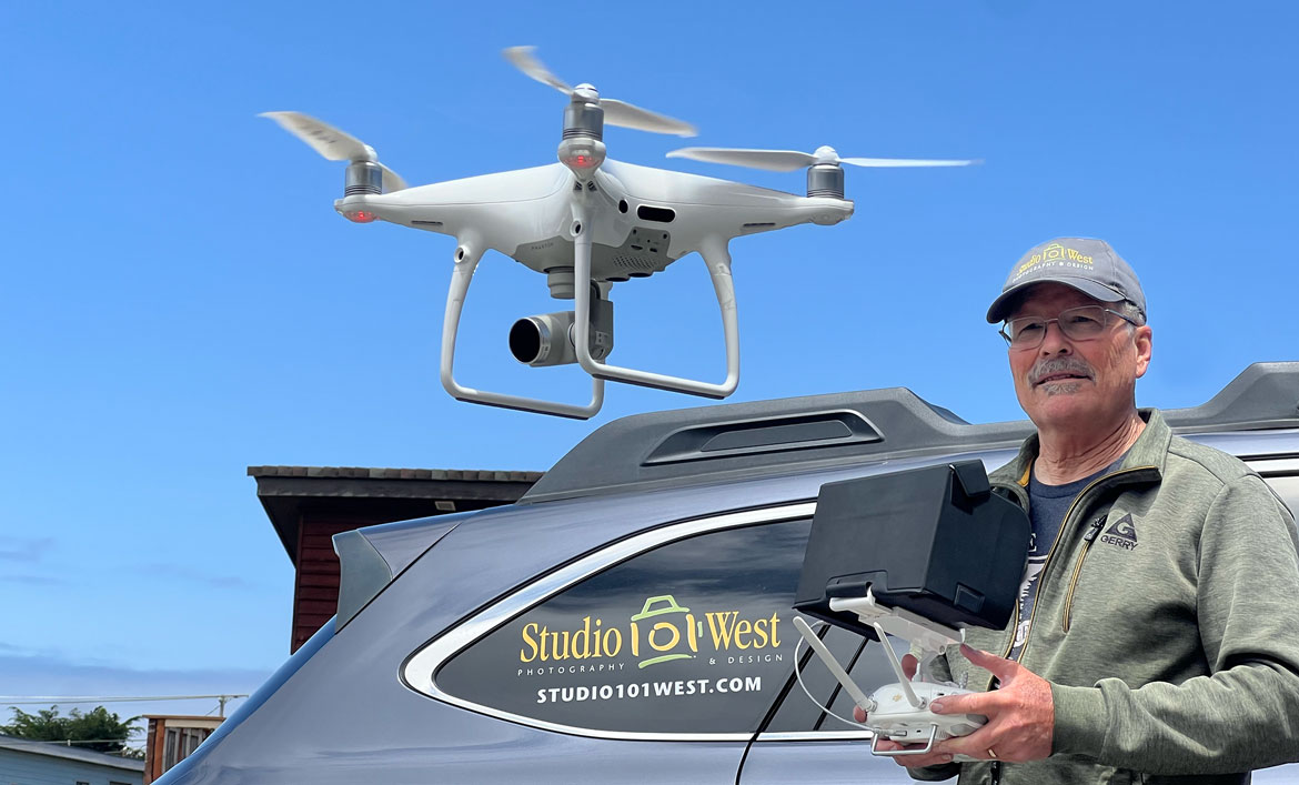
FAA Certified Drone Pilot & Fully Insured
Beyond decades of experience as a full-time commercial photographer, Dennis is fully certified by the FAA to fly drones for commercial use. Plus, we carry separate drone liability insurance both for our protection and yours. We have flown thousands of missions for commercial use and stay current on the latest drone education and laws. We know that keeping up with the laws and liabilities of the current drone climate is just as important as being a skillful pilot and expert photographer.
Knowing how to legally fly in restricted areas and no-fly zones is important when trying to avoid any liability if things go wrong. We are well rehearsed in acquiring any air space clearances from the FAA to keep everything safe and legal.
Schedule Your Drone Photography Today
Let us help you with the details of your project.
Drone Photo & Video Uses:
- Marketing Material
- Advertising
- Website Content
- Client Acquisition
- Architectural Contests
- Construction Site Progress
- Real Estate Sales
More Information On Drone Photography:
Drone Pilot Laws:
To fly a drone FOR COMPENSATION in the USA, the pilot is required to have a Small Unmanned Aircraft System (sUAS) Airman Certificate issued by the FAA. Studio 101 West is FAA Certified and stays current with all rules and regulations.
